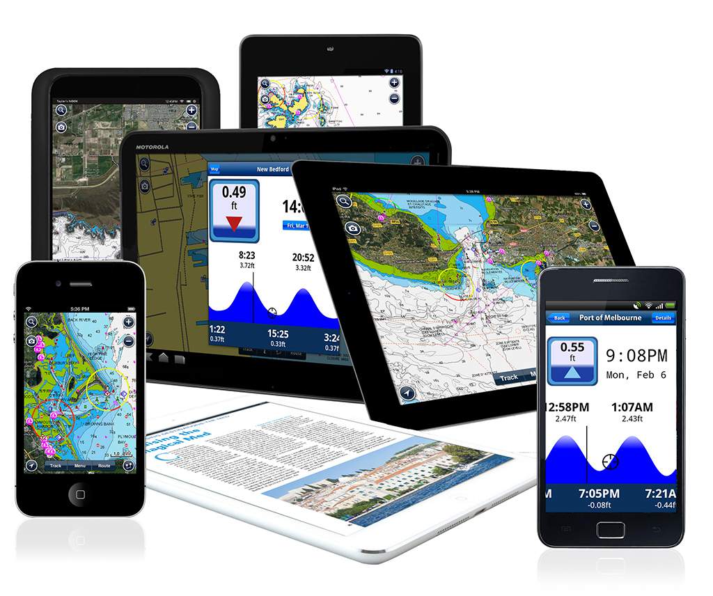
Navionics Boating app
Is there anything better than getting more stuff for free? The new version of the free Navionics Boating app (7.0) for iPhone and iPad comes preloaded with government charts including NOAA Electronic Navigational Charts for U.S. coastal and navigable waterways, as well as large rivers and lake shorelines.
Before the end of 2014, the Navionics app is expected to be updated for Android and released on Google Play, as well.
The Navionics Boating app lets boaters create routes, mark waypoints, check forecasts, share data and measure speed, distance, course over ground and more. The free charts include navigational data such as depths, buoys, beacons, hazards and channel markers, along with fun features, including a camera function that geo-references photos and videos for future sharing via social media or email. (It gives whole new meaning to the postcard sentiment “Wish You Were Here.”)
Also new in version 7.0 of the Navionics Boating app is Plotter Sync, a feature that lets Raymarine Wi-Fi-enabled plotters connect to Navionics servers to upload data and download charts or updates.
Users can purchase additional Navionics charts and advanced content through the app to go beyond the free features.
More is on the way: By June, Navionics Boating is scheduled to let users download and update charts from Navionics servers back to their chart-plotter, eliminating the step of removing a memory card from the plotter.
Learn more at www.navionics.com.

