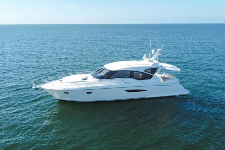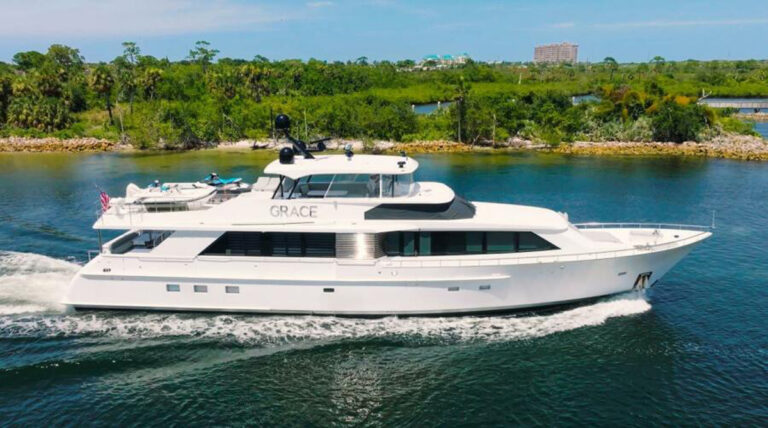
November 29, 2014: Team Vestus Wind was racing from Cape Town, South Africa, to Abu Dhabi in the United Arab Emirates at speeds of 16 to 21 knots. The boat slammed into the Cargados Carajos Shoals, around 235 nautical miles northeast of Mauritius. The crew survived, but the multimillion-dollar race boat was destroyed.
Human error was to blame, but postmortem reports suggest that the scale of the boat’s chart displays was a contributing factor. The boat carried two multifunction displays and two laptops, but the 6.4-inch MFD screens couldn’t provide much resolution at scale.
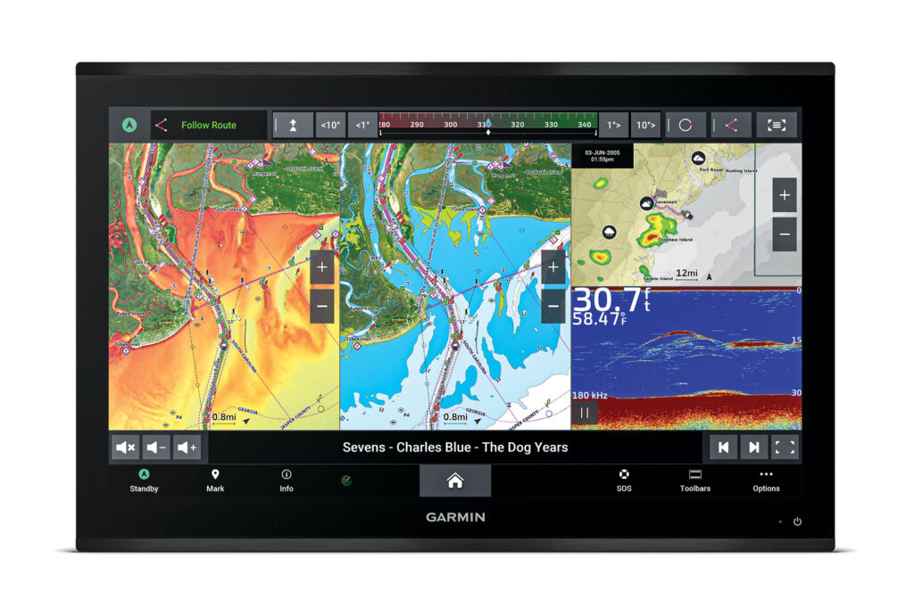
Navigation aside, screen space wouldn’t have been an issue if the team had been racing with Garmin’s 9000 series GPSMap displays, which have up to 27 inches of high-resolution glass. Modern MFDs combine processing power, memory, data storage, touchscreen capabilities and network connectivity. Garmin’s GPSMap 9000 series adds bigger swaths of glass, better onscreen resolution and faster processors.
While these upgrades significantly enhance the user experience, the biggest innovation within Garmin’s first new flagship MFD in eight years is its four BlueNet network ports. This hardware combination, along with Garmin’s quarterly software updates, should mean significant amounts of future-proofing.
The GPSMap 9000 is available in 19– ($9,900), 22– ($11,400), 24– ($13,400) and 27-inch ($16,900) screens with in-plane switching for sunlight readability. The displays ship with tide tables and either Garmin’s basic worldwide base map or a US version that has built-in Garmin Navionics+ cartography for the United States, Canada and the Bahamas. The touchscreen-only displays can be flush- or flat-mounted, and they’re compatible with Garmin’s external hard-key remote controls.
“Despite having large screens—up to 24 inches—with the GPSMap 8400/8600 series, the requests kept coming in for larger,” says Dave Dunn, Garmin’s senior director of marine and RV sales. “4K screens have come down in cost since the 8400/8600 were developed, so we’re able to offer a 4K-resolution screen where the cost didn’t make sense in the previous generation.”
While eye-pleasing, this resolution isn’t just about aesthetics, Dunn adds: “With the content of the cartography that we’re getting today, when you add in the relief shading, you add in contour lines, you add in your tracks, your breadcrumbs—all that stuff starts to clutter. The higher resolution you have, it’s cleaner.” And you can still see all the details for navigation.
Dunn says that better screen resolution also helps anglers. Like Garmin’s GPSMap 8400/8600 series, the GPSMap 9000 displays are built to show underkeel targets and structure. Both generations of MFDs support traditional 50/200 kHz sonar, along with Garmin’s ClearVu, SideVu, Panoptix and Livescope systems, giving users the ability to acquire a massive amount of underkeel awareness.
“If you’re just looking for the bottom, it doesn’t help you,” Dunn says. “But if you’re fishing, it could be the difference of seeing several targets that are stacked up together, where otherwise it might just have been one big target because the pixel count wouldn’t allow you to draw those targets.”
That said, navigational awareness is also well-covered because GPSMap 9000 displays have Global Navigation Satellite System receivers. This allows the MFDs to acquire position fixes from four discrete navigation systems: GPS (United States), GLONASS (Russia), Galileo (European Union) and Beidou (China). The built-in wide-area augmentation system allows for accuracy to 3.3 feet.
In addition to enhancing navigation, large-format 4K displays can moonlight as screens for streaming entertainment or watching stored content. GPSMap 9000 displays also have HDCP (high-bandwidth digital content protection) distribution, allowing users to play the same content simultaneously across all networked GPSMap 9000 screens.
Garmin further designed the GPSMap 9000 to serve as computational heavy-lifters. The processors have speeds seven times faster than those in the GPSMap 8400/8600 series. “We want these to be as future-proofed as possible, so there’s way more horsepower built into them than they actually need,” Dunn says. “That also helps with integration and everything that we’re pumping into these MFDs now.”
That includes Garmin’s BlueNet network, a superhighway that hustles data at 1 gigabit per second. By comparison, NMEA 0183 and NMEA 2000 networks move data at 4.8 and 250 kilobits per second, respectively, and Garmin’s previous network moves data at 100 megabits per second. While 100 Mbps isn’t slow, BlueNet is 10 times faster.
The four BlueNet ports in each GPSMap 9000 display look ordinary, but they let users build data-intensive networks involving multiple displays, daylight and thermal-imaging cameras, radars, sonars and other instrumentation. The setup also reserves bandwidth for upcoming innovations, Dunn says: “When you think about BlueNet and what it opens up for the future, that’s really the key innovation here. It gives us a lot more opportunity to interact with more features and components on the boat than we ever have.”
Tea leaves are hard to read, but given that Garmin’s Surround View camera system already has some of the technologies for self-docking capabilities, it’s fair to hypothesize that some of the impetus for the GPSMap 9000’s powerful processors and BlueNet compatibility involves supporting higher levels of automated technology.
As for target audiences, given the sizes and costs involved, these MFDs are aimed at larger yachts. Dunn points to the owner of a 70-footer who purchased three 27-inch GPSMap 9000 MFDs, and installed two at his helm and one in his stateroom, plus smaller GPSMap 8600 MFDs on the flybridge and elsewhere.
At the same time, Dunn says, the owners of smaller boats, including center-consoles, have also been installing big-boat equipment. “Anything above about 30 feet is probably going to go to these 9000s,” he says, adding that another customer bought a 27-inch GPSMap 9000 MFD for his bay boat. “Instead of going with two screens, people are opting to go with one really large one.”
As for Team Vestus Wind, it’s hard to imagine the same scaling issues surfacing if they had been racing with 27 inches of 4K screen real estate supported by lightning-fast processors, GNSS receivers and 1 Gbps data networks. Careful navigation, of course, remains a different story.
Trickle-Down Tech
Big displays are visually pleasing, but not everyone has the physical space to accommodate a 19-inch screen, let alone 27 inches of glass. It’s easy to speculate that Garmin will build smaller GPSMap 9000 displays in the future. In the meantime, Garmin’s GPSMap 8600 series comes in 10, 12, 16 and 17 inches.


