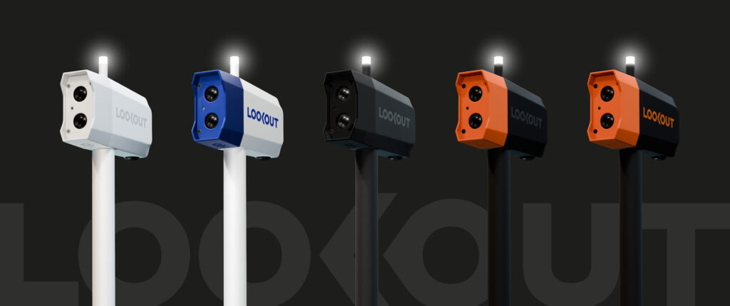
A Bright Idea for Onboard Safety
Lookout and Lumitec partner to create an AI vision camera combined with a Coast Guard-required light for yachts.

Lookout and Lumitec partner to create an AI vision camera combined with a Coast Guard-required light for yachts.
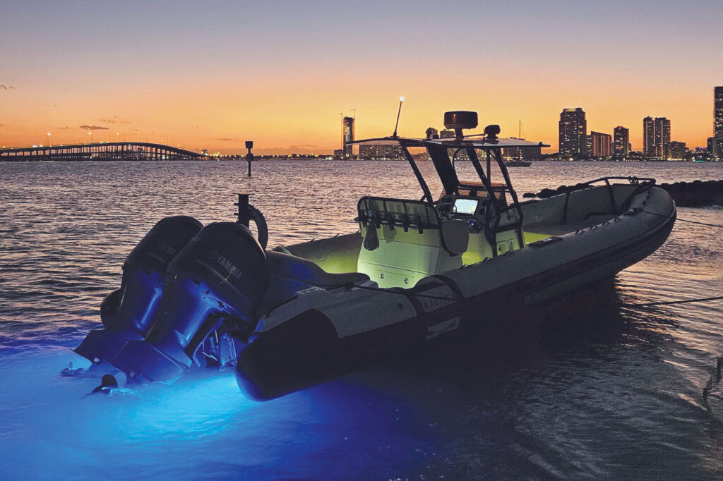
The latest in safety and entertainment gear from Garmin, JL Audio, Lumitec, Maretron, Sea.AI, Siren Marine and Tocaro Blue.
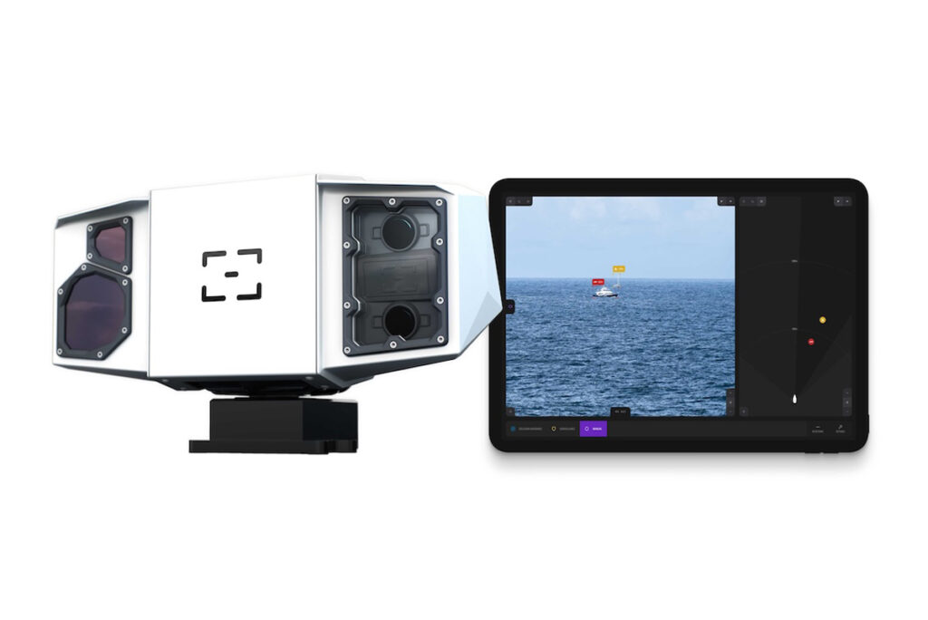
At the Palm Beach International Boat Show, Sea.AI showcased this AI-powered safety tech.
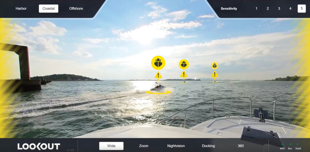
Lookout uses computer vision to bolster situational awareness and collision avoidance in augmented-reality screen views.
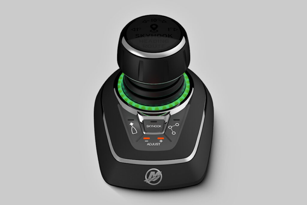
There’s now Mercury Marine Joystick Piloting for Single-Engine Outboards with Thruster.
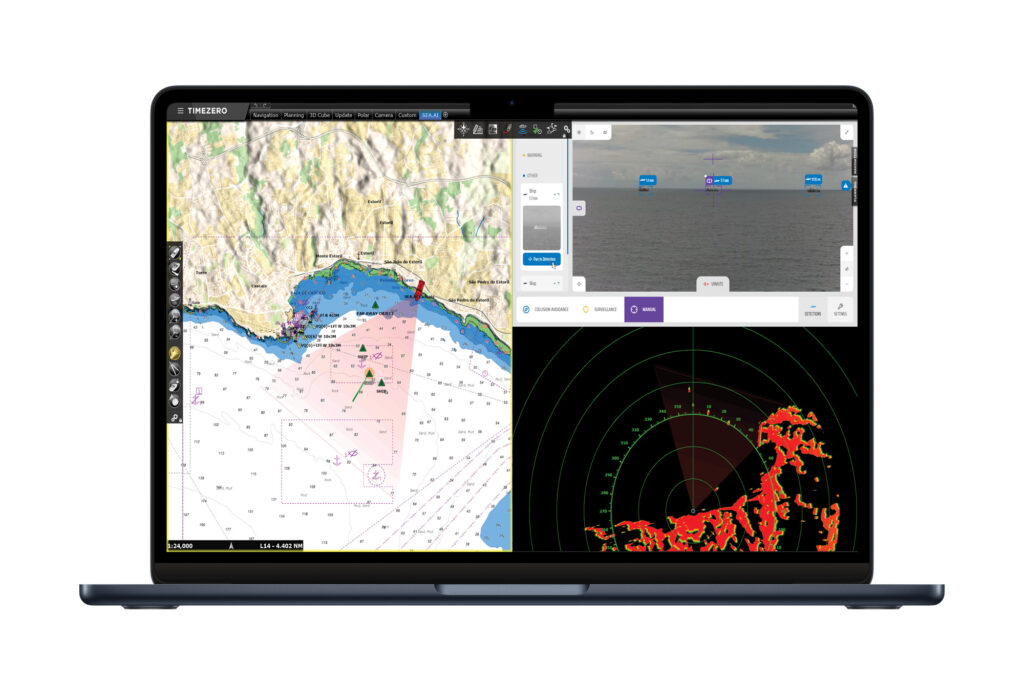
The partnership should result in a boost to situational awareness for boaters around the world while also increasing safety.
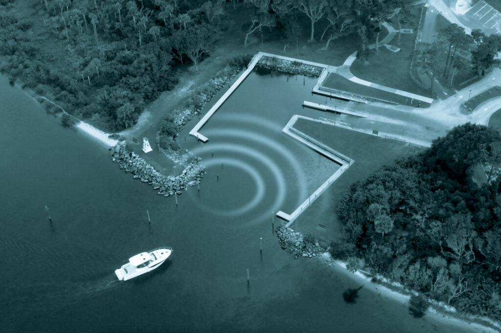
Brunswick Corporation’s Boating Intelligence aims to improve the boating experience across the board with AI.
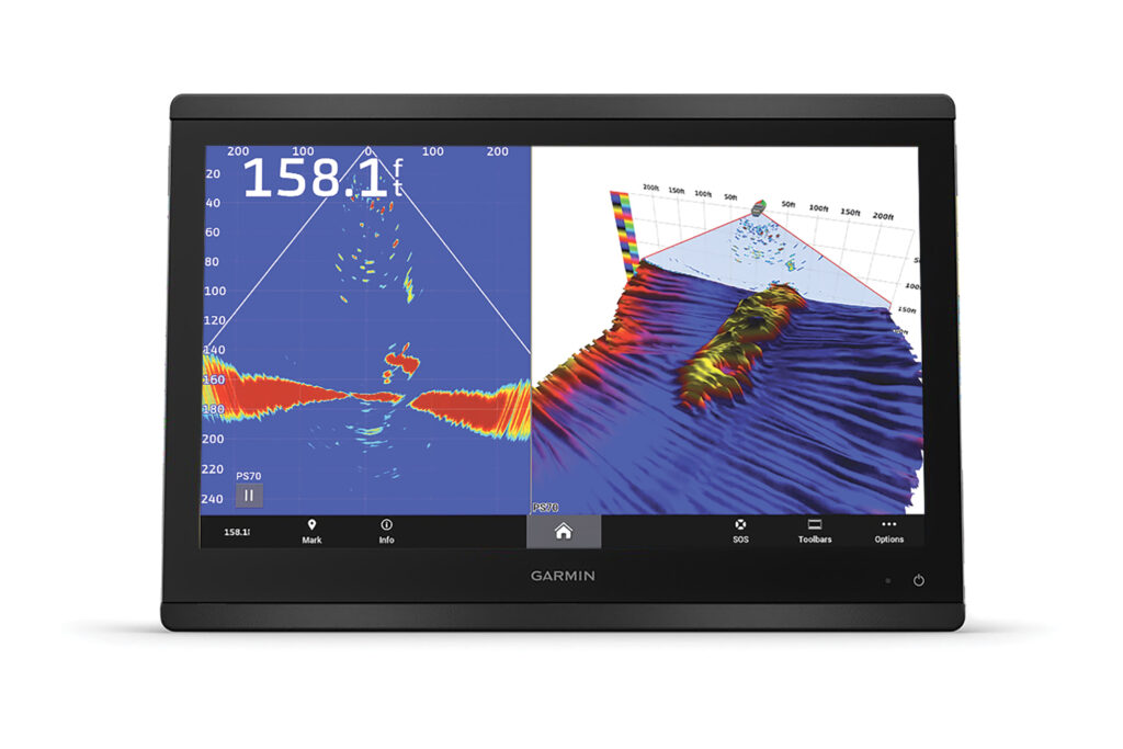
The Garmin PS70 transducer delivers well-defined, live sonar imagery for anglers, cruisers and divers down to 1,000 feet.
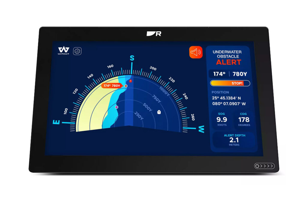
Raymarine announces collaboration with Watchit, merging anti-collision tech with advanced chartplotters.
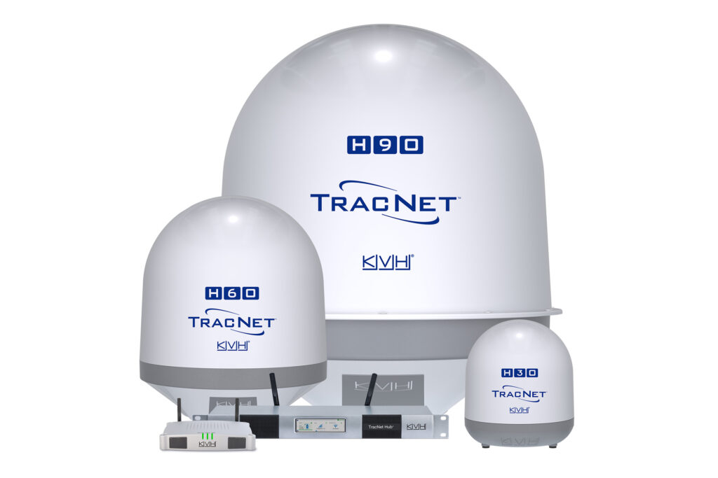
KVH TracNet Coastal and TracNet Coastal Pro 5G/Wi-Fi offer hybrid solutions and seamless streaming in 135 countries.
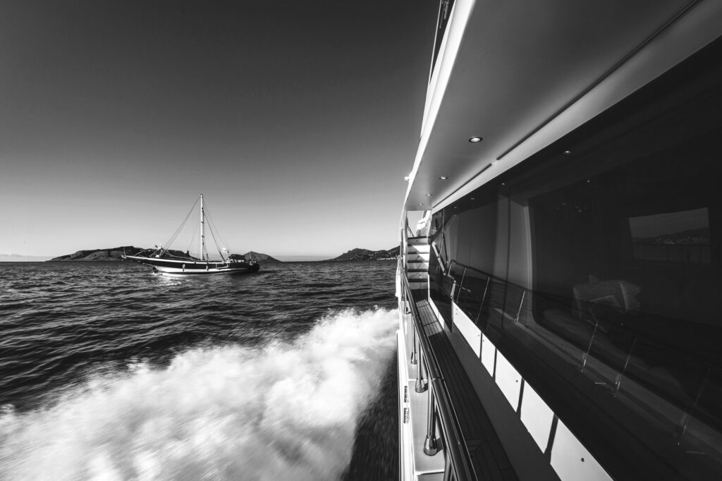
This technology leverages the learning power of artificial intelligence to enhance situational awareness for boaters.
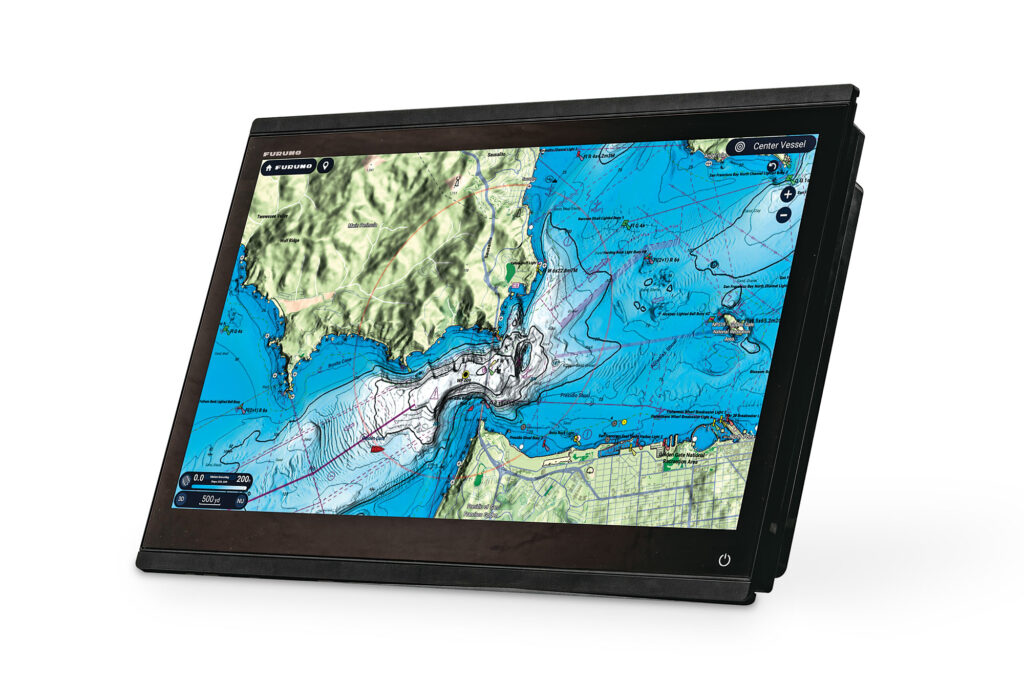
Explore navigation, dynamic fishing maps and AI-powered safety features with Furuno’s TZtouchXL multifunction displays.

Lookout and Lumitec partner to create an AI vision camera combined with a Coast Guard-required light for yachts.

The latest in safety and entertainment gear from Garmin, JL Audio, Lumitec, Maretron, Sea.AI, Siren Marine and Tocaro Blue.

At the Palm Beach International Boat Show, Sea.AI showcased this AI-powered safety tech.

Lookout uses computer vision to bolster situational awareness and collision avoidance in augmented-reality screen views.

There’s now Mercury Marine Joystick Piloting for Single-Engine Outboards with Thruster.

The partnership should result in a boost to situational awareness for boaters around the world while also increasing safety.

Brunswick Corporation’s Boating Intelligence aims to improve the boating experience across the board with AI.

The Garmin PS70 transducer delivers well-defined, live sonar imagery for anglers, cruisers and divers down to 1,000 feet.

Raymarine announces collaboration with Watchit, merging anti-collision tech with advanced chartplotters.

KVH TracNet Coastal and TracNet Coastal Pro 5G/Wi-Fi offer hybrid solutions and seamless streaming in 135 countries.

This technology leverages the learning power of artificial intelligence to enhance situational awareness for boaters.

Explore navigation, dynamic fishing maps and AI-powered safety features with Furuno’s TZtouchXL multifunction displays.
Sign up for Yachting emails to receive features on travel destinations, event listings and product reviews as well as special offers on behalf of Yachting’s partners.
By signing up you agree to receive communications from Yachting and select partners in accordance with our Privacy Policy. You may opt out of email messages/withdraw consent at any time.